
The Garmin GPSMAP 64sx is a powerful handheld GPS device that offers advanced navigation features for outdoor enthusiasts. This guide provides step-by-step instructions to help users become proficient in using the device. It advises users to familiarize themselves with the device, acquire satellite signals for accurate positioning, create waypoints, and navigate to them. The guide also covers recording and navigating tracks, utilizing routing options, integrating additional maps, customizing the device, and utilizing additional features such as the built-in compass and altimeter. The conclusion encourages users to embrace outdoor exploration with confidence using the GPSMAP 64sx.
Mastering the Art of Navigation with the Garmin GPSMAP 64sx
Introduction
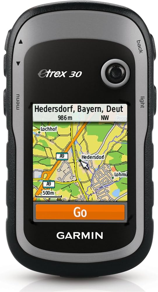
The Garmin GPSMAP 64sx is a powerful handheld GPS device that offers advanced navigation features for hikers, hunters, and outdoor enthusiasts. Whether you are planning a hiking trip or exploring new terrain, mastering the art of navigation with the GPSMAP 64sx can greatly enhance your outdoor experiences. In this guide, we will take you through step-by-step instructions to help you become proficient in using this device.
Step 1: Familiarize Yourself with the Device
Before delving into the advanced features of the GPSMAP 64sx, it is important to have a basic understanding of the device. Familiarize yourself with the buttons, touchscreen, and menus. Take some time to explore the various preloaded maps and options available. This will help you navigate through the device easily when you start using it in the field.
Step 2: Acquire Satellite Signals
Before using the GPSMAP 64sx for navigation, it is crucial to acquire satellite signals for accurate positioning. Ensure that you are in an open area with a clear view of the sky, away from tall buildings or dense tree cover. Turn on the device and wait for it to connect to the satellites. Once the GPS signal strength indicator is strong, you are ready to begin.
Step 3: Creating Waypoints
Waypoints are essential markers that allow you to record and navigate to specific locations. To create a waypoint, go to the main menu, select “Mark”, and then choose “Waypoint”. Enter a name for the waypoint and adjust any additional settings if necessary. You can also take a photo and attach it to the waypoint for visual reference. Save the waypoint, and now you have a reference point that you can navigate to later.
Step 4: Navigating to Waypoints
Once you have created waypoints, you can easily navigate to them using the GPSMAP 64sx. From the main menu, go to “Find” and select “Waypoints”. Choose the desired waypoint from the list, and the device will calculate and display the distance and direction to the waypoint. Follow the on-screen guidance and the compass to reach your destination.
Step 5: Understanding Tracks
Tracks are recorded paths that can be followed or used for future reference. The GPSMAP 64sx allows you to record and navigate tracks. To start recording a track, go to the main menu, select “Track Manager”, and choose “Record”. The device will begin tracking your movements. To navigate an existing track, go to “Track Manager” and select the desired track. The device will guide you along the recorded path.
Step 6: Utilizing Routing Options
The GPSMAP 64sx offers various routing options that can enhance your navigation experience. From the main menu, go to “Setup” and select “Routing”. Here, you can choose between direct routing, road routing, or off-road routing. Direct routing is the simplest method that connects waypoints in a straight line. Road routing utilizes road networks, while off-road routing helps you navigate through unmarked trails and terrain.
Step 7: Integrating Maps
The GPSMAP 64sx supports additional maps beyond the preloaded ones. You can expand your mapping options by purchasing and installing additional maps. Connect the device to your computer using a USB cable, and then visit the Garmin website to explore and purchase compatible maps. Once downloaded, transfer the maps to the device using Garmin’s BaseCamp software. Now you have access to a wider range of maps and detailed terrain information.
Step 8: Customizing the Device
The GPSMAP 64sx offers a high level of customization to suit your specific needs. From the main menu, go to “Setup” and explore the various settings available. You can personalize data fields, change map settings, adjust screen brightness, and much more. Take some time to familiarize yourself with these options and tailor the device to your preferences.
Step 9: Additional Features and Tips
Beyond navigation, the GPSMAP 64sx provides many additional features that can enhance your outdoor experiences. It includes a built-in compass, altimeter, and satellite communication capabilities. Familiarize yourself with these features and learn how to utilize them effectively. Additionally, remember to keep the device charged and carry spare batteries or a power bank for longer trips.
Conclusion
The Garmin GPSMAP 64sx is a valuable tool for anyone venturing into the great outdoors. By following the step-by-step instructions outlined in this guide, you can master the art of navigation with this device. From creating waypoints to navigating tracks and customizing settings, the GPSMAP 64sx opens up a world of possibilities for outdoor exploration. So, grab your device, hit the trails, and embark on unforgettable adventures with confidence.